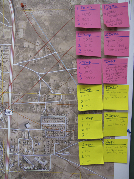
Participatory Mapping

Workshops: Diné Environmental Institute (DEI)
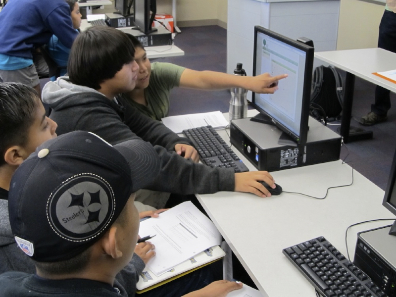
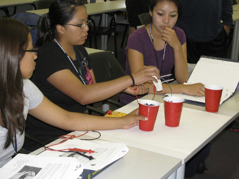
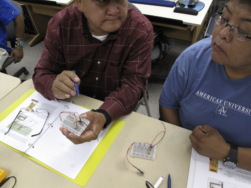
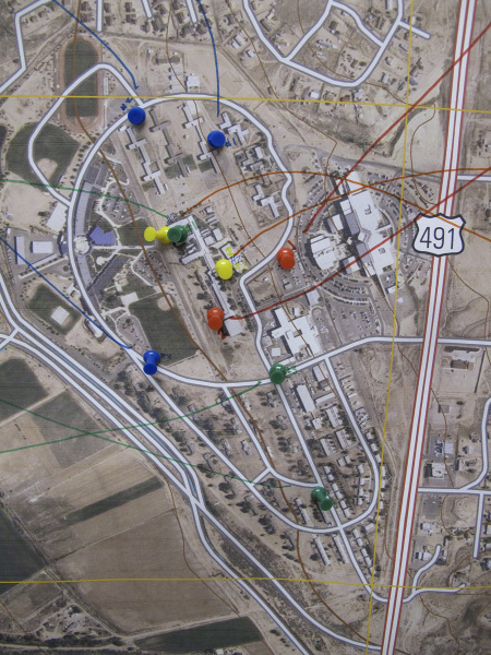
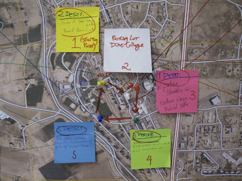
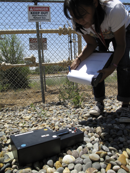
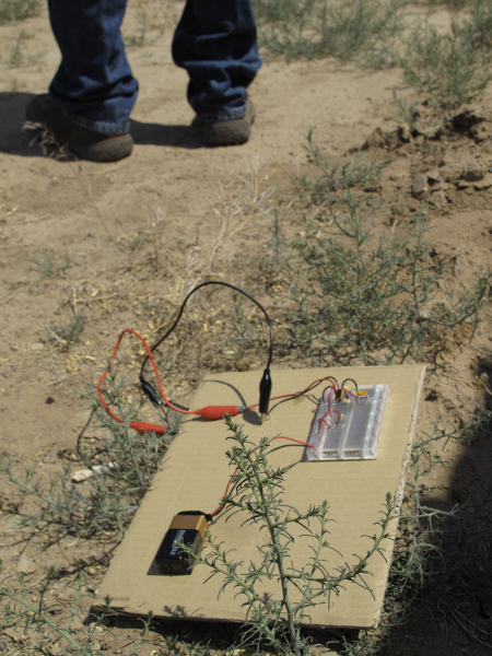
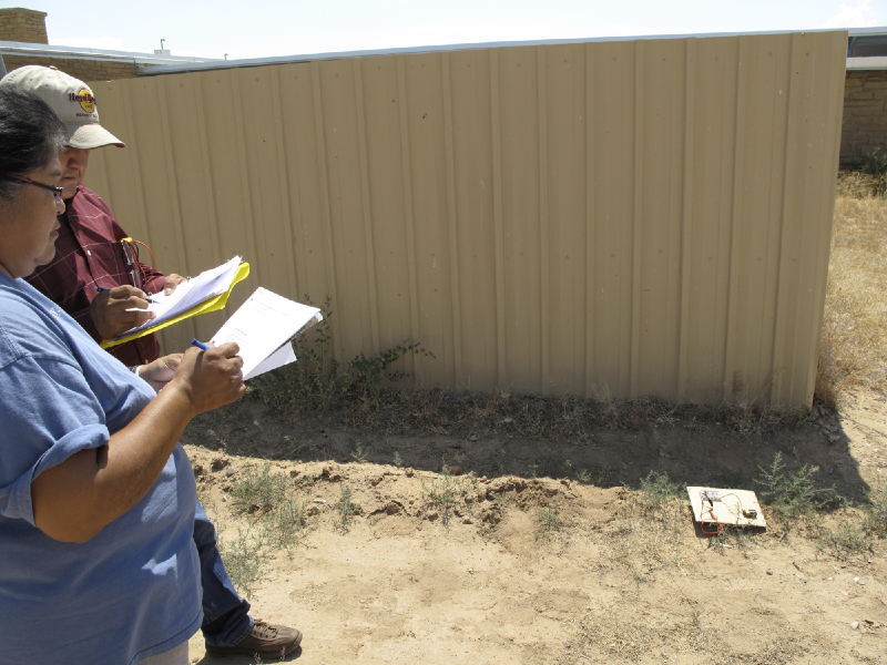
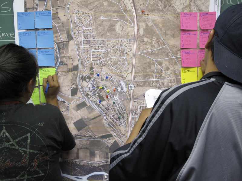
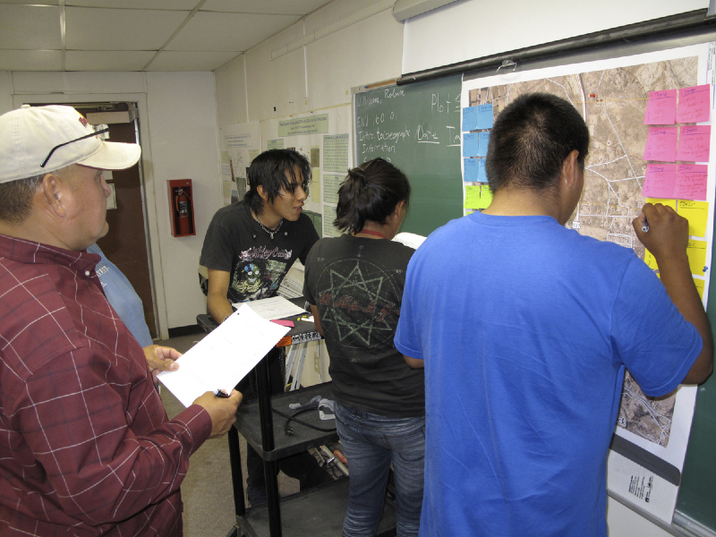
The Diné Environmental Institute is an NSF funded research group at Diné College on the Navajo Nation reservation. Diné College is a tribal university system with locations throughout NM and AZ. In attendance at this first series of workshops, held in summer 2011, were more than a dozen summer environmental monitoring interns who had been trained on using more sophisticated instruments and GIS mapping. Our contribution was to examine how these technologies operate at a fundamental level and introduce participatory aspects to their environmental educational programming. (Download the full DEI workshop booklet)
Workshops: Institute for Tribal Environmental Professionals (ITEP)
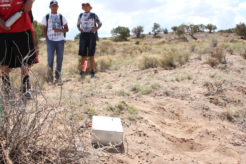
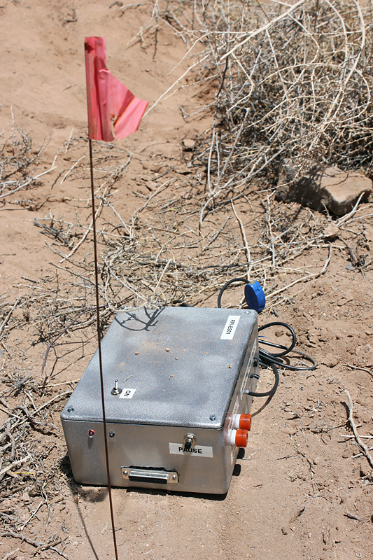
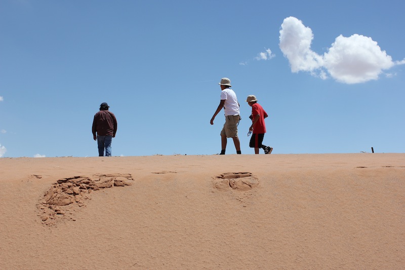
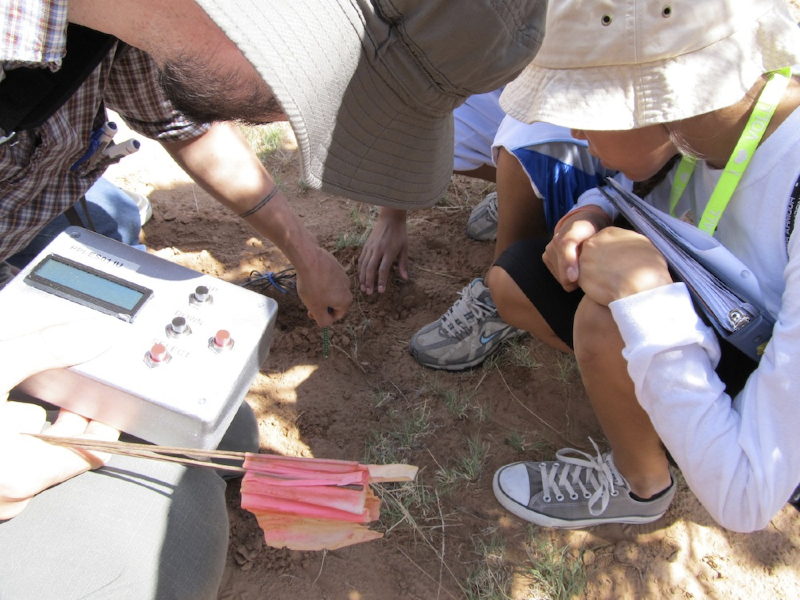
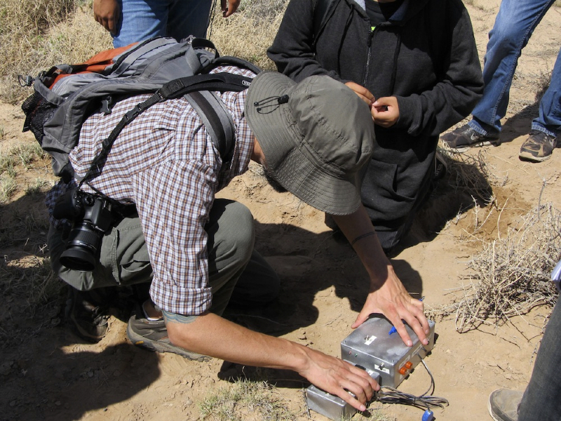
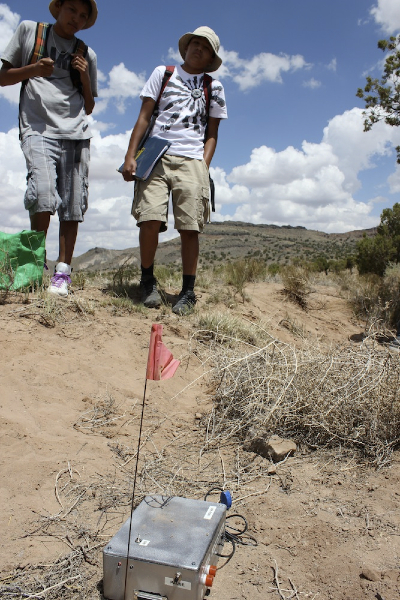
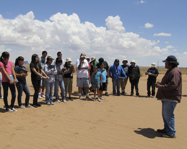
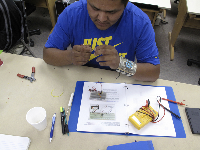
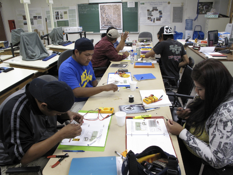
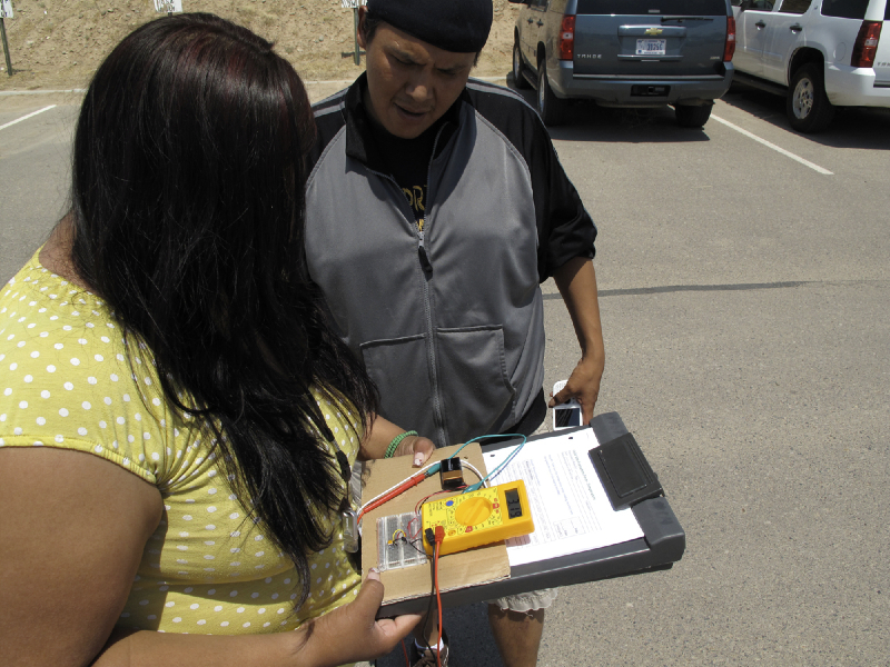
The Institute for Tribal Environmental Professionals (ITEP) is based at Northern Arizona University in Flagstaff, AZ. This was a week-long workshop series, also held in summer 2011, was attended by 30 middle and high school students from across the Navajo Nation. As a vehicle for discussing climate change, myself and two visiting Navajo instructors focused on local impacts from climate change. Specifically, sand dune erosion and water management issues. Because of the difference in age group (6th-12th graders as opposed to college interns) from the DEI workshops, we also introduced material on how to interpret and create topographical maps. (Download the full ITEP workshop booklet)